totalview

Data

Satellite data

Optical, SAR, thermal, hyperspectral and carbon-mapping data from 256 satellites, from archive or new tasking.

Satellites in orbit
256
Sensor families
5
Best optical resolution, cm
15

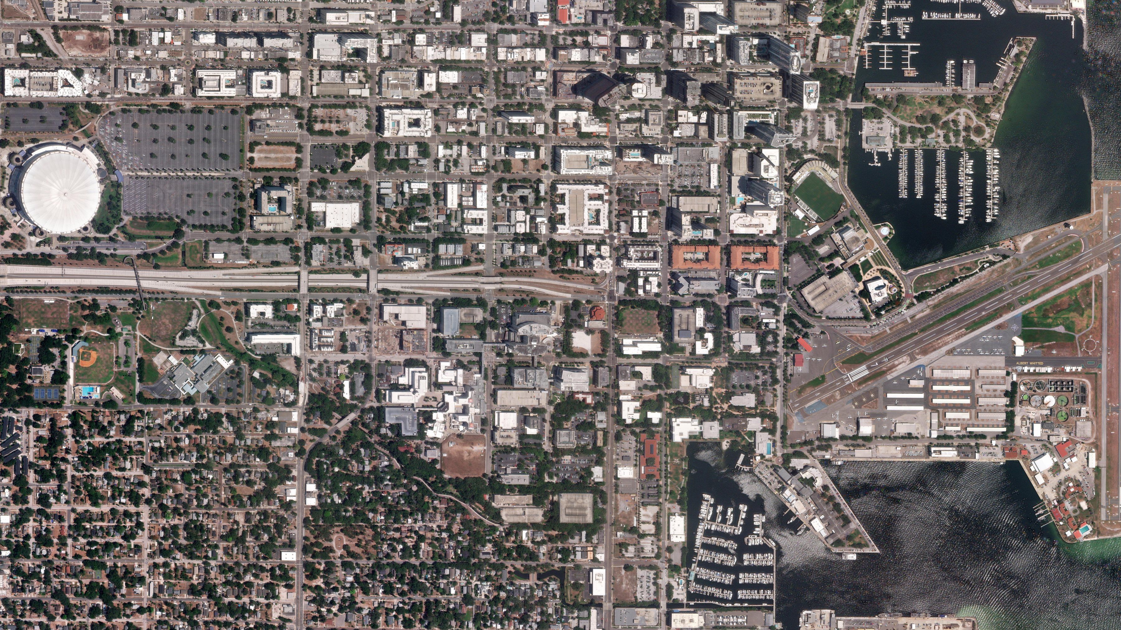
Optical

15 cm

  • Buildings, roads, vehicles, vessels: anything with a visible outline
  • Vegetation health through the near-infrared band
  • Change between two dates, at the level of a single plot
  • True colour for maps, plans and public-facing products
151 satellitesOpen Optical →

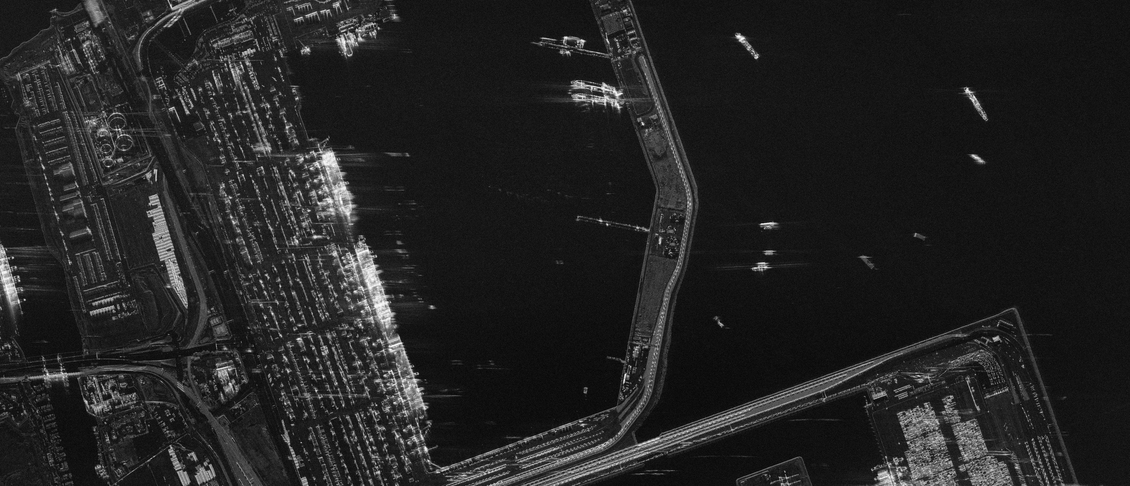
SAR

25 cm

  • Flood extent while the storm is still overhead
  • Vessels at sea, including those not transmitting AIS
  • Ground displacement to the millimetre, via interferometry
  • Structures, soil moisture, surface roughness
73 satellitesOpen SAR →

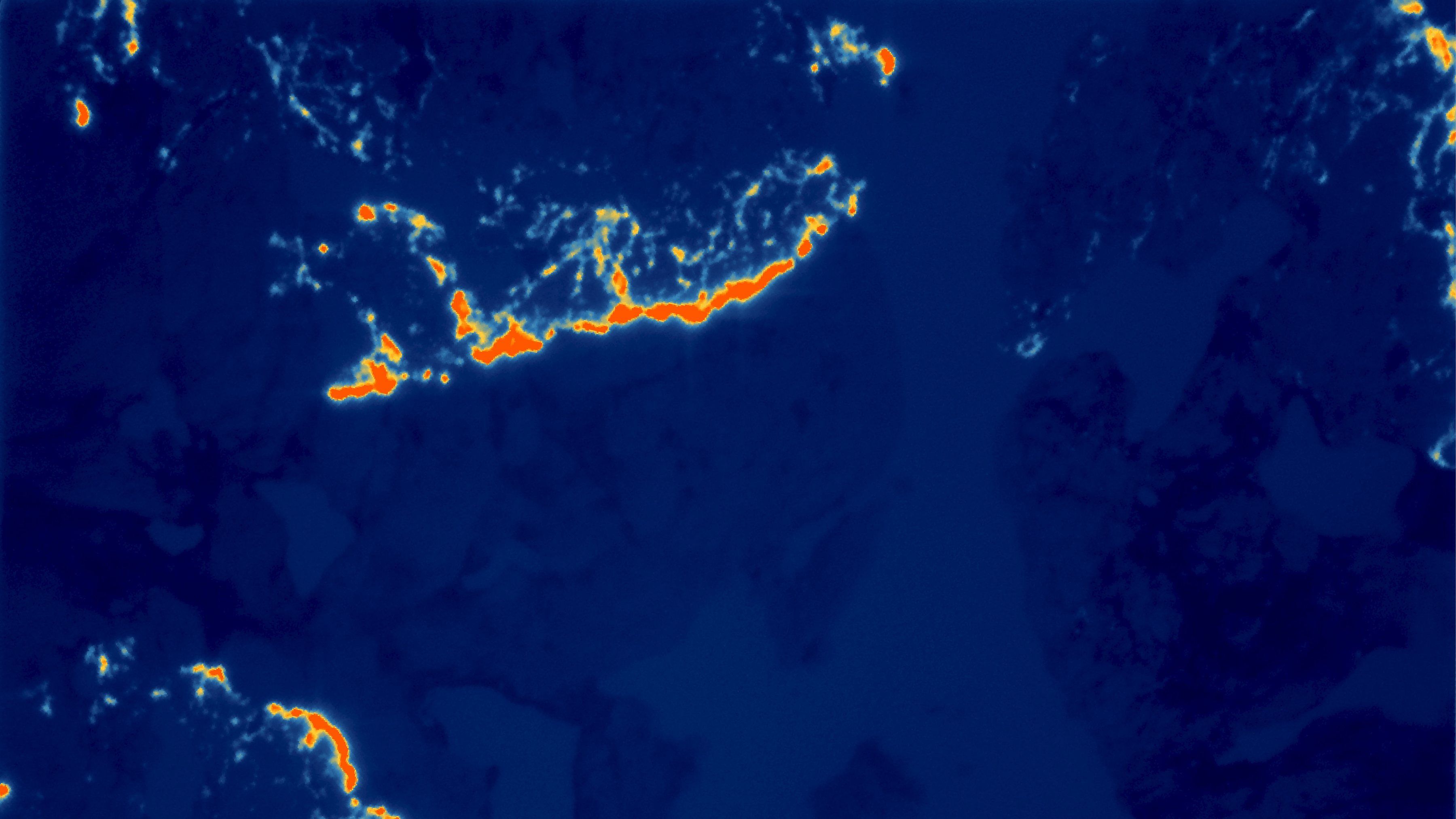
Thermal

3.5 m

  • Heat loss from roofs and façades, building by building
  • Which plants, stacks and units are running
  • Crop water stress days before it shows in colour
  • Urban heat islands, at street resolution
3 satellitesOpen Thermal →

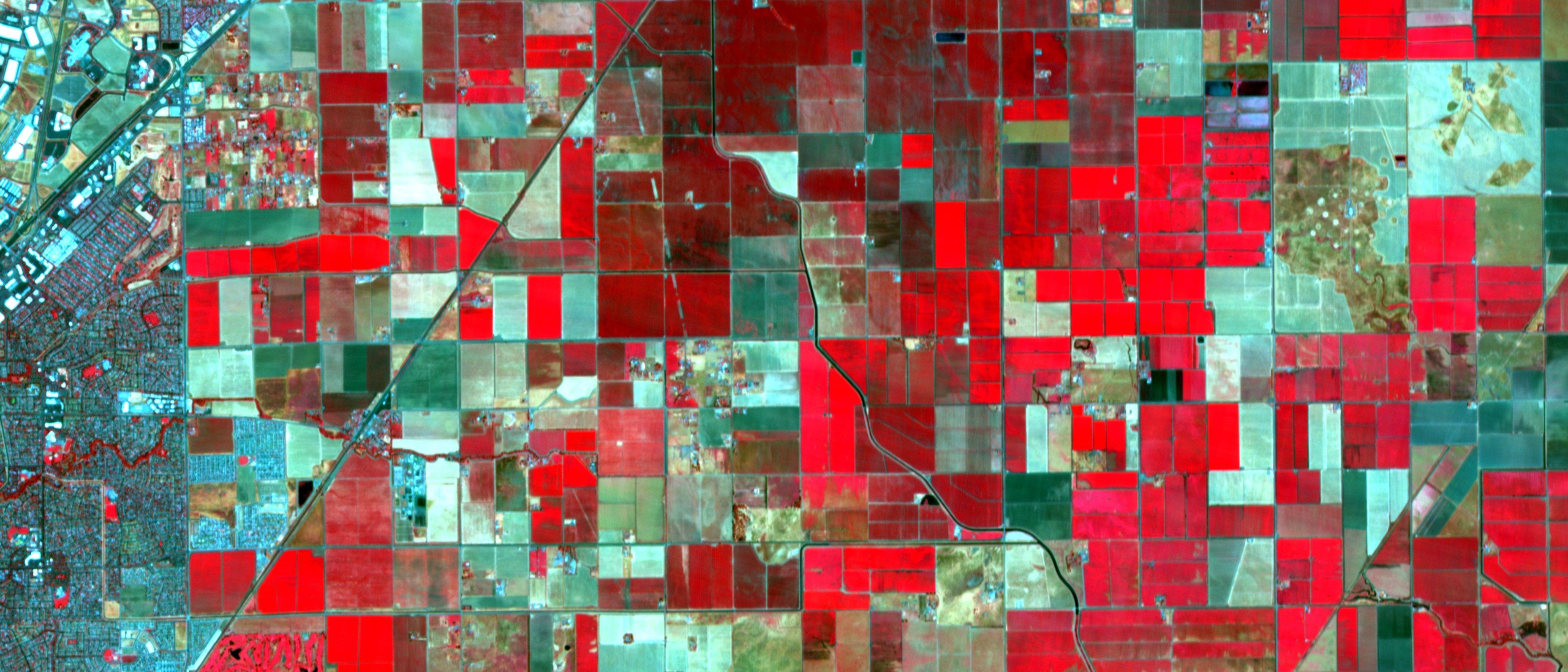
Hyperspectral

400+ bands

  • Crop species and variety, not just “vegetation”
  • Mineral composition of exposed ground
  • Water quality: chlorophyll, sediment, algal blooms
  • Plastics, hydrocarbons and other materials by their spectral signature

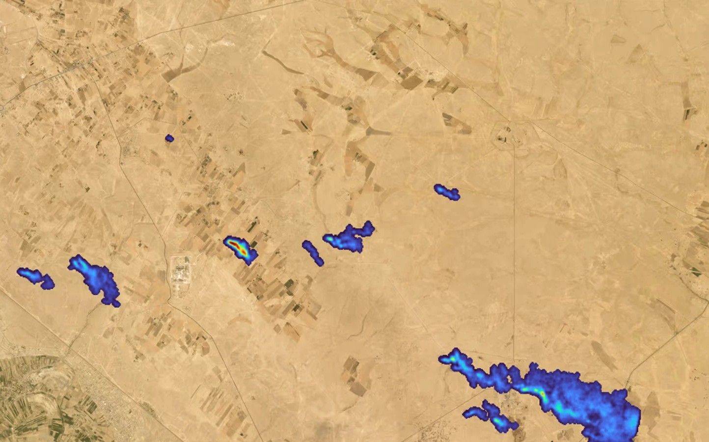
Carbon mapping

64–126 kg/h

  • Methane from oil and gas sites, coal mines, landfills and industry
  • The emitting facility, not only the region around it
  • Emission rate in kg/h, from the plume and the wind
  • CO2 from power stations and heavy industry