totalview

Services

Our services

Earth observation data and processing, ground systems engineering, and software development.

km² processed below 50 cm
700,000
Imagery partners
20
Ground sites we work on
3
Operating ground stations since
2014

Imagery supply and processing

Earth Observation

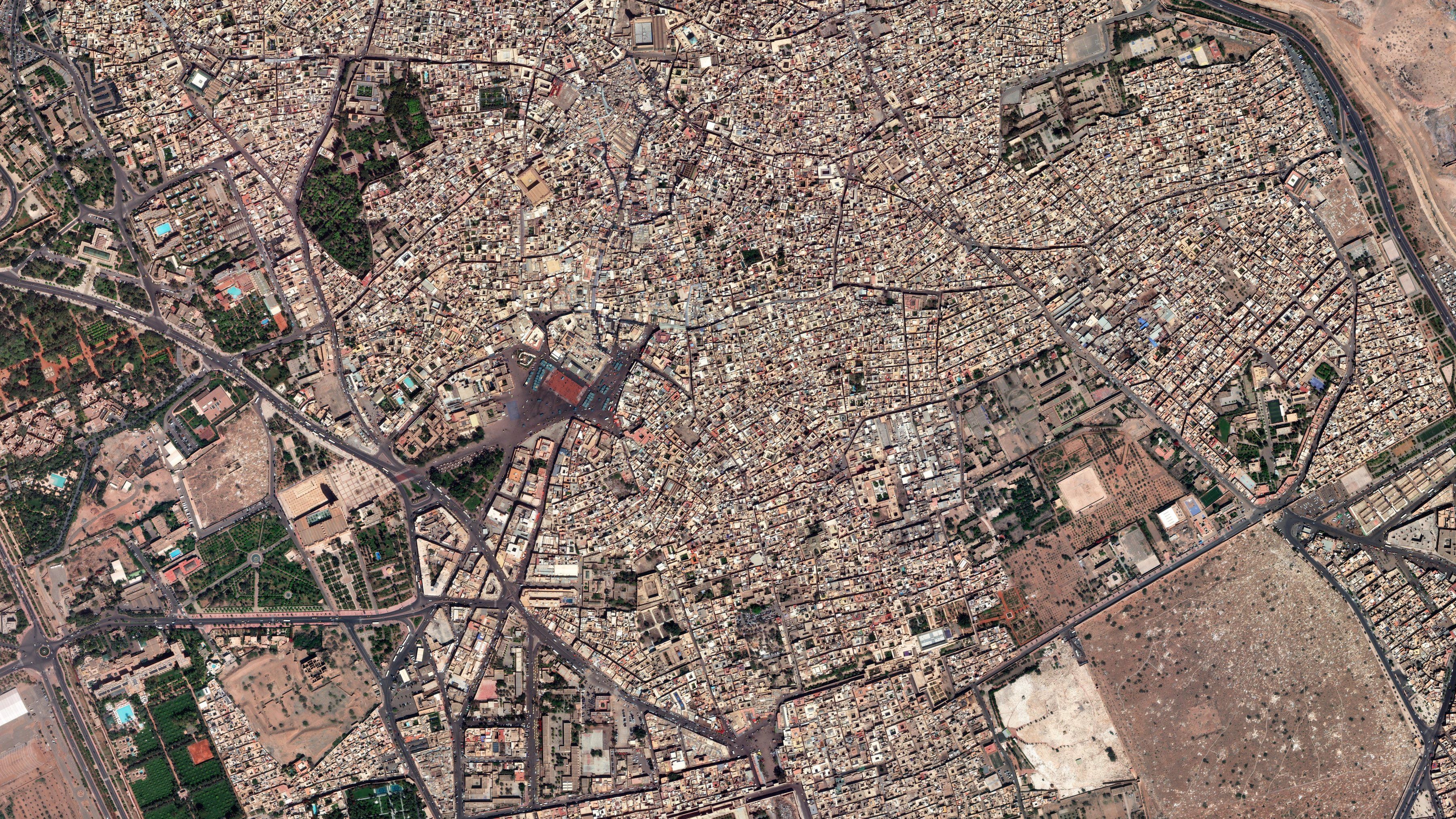
700,000 km² below 50 cm

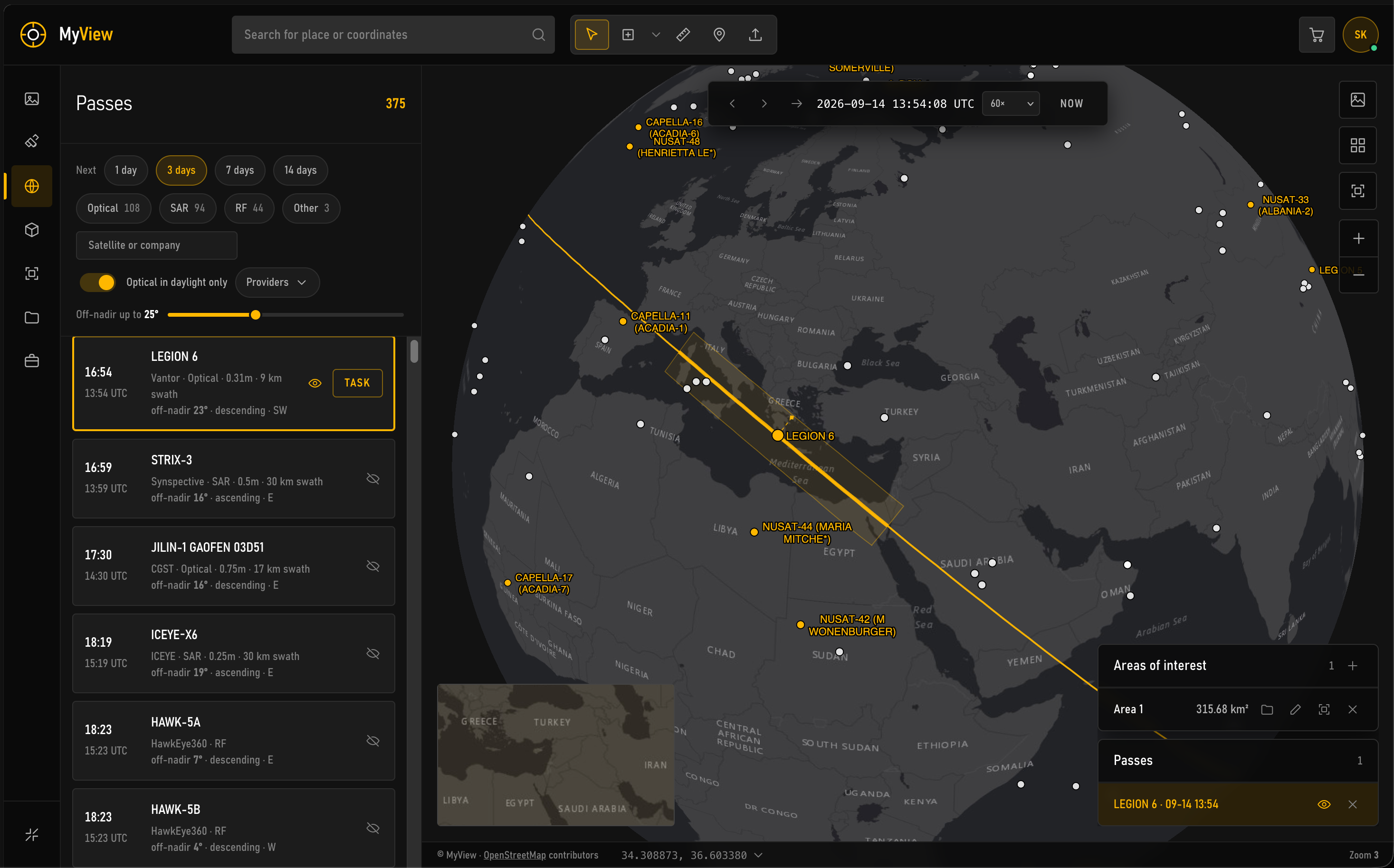
  • Archive search and tasking across 20 imagery partners
  • Orthorectification against the national DEM
  • Mosaicking and radiometric balance
  • Change detection, monitoring, classification

Stations and telescopes, installed and run

Ground Systems

S · X · Ka · L · optical

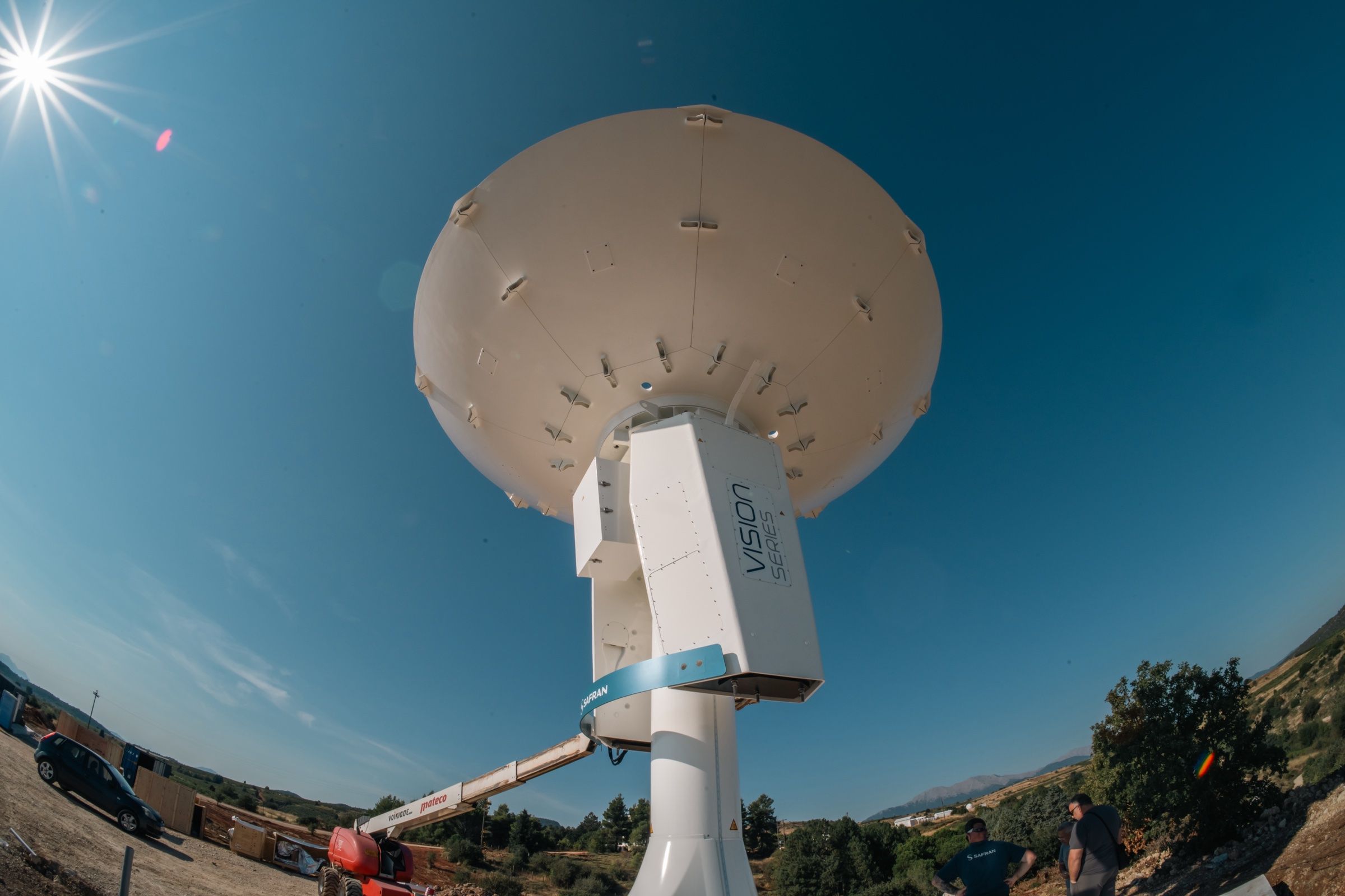
  • Kryoneri: 2.4 m X/L-band station, 6.1 m Safran S/X/Ka antenna
  • Nemea: KSAT Greece, RF and optical ground stations
  • Dionysos: Baker-Nunn satellite tracking camera
  • Site survey, installation, operations, maintenance

Process

  1. Requirement

    Area, question, dates, deliverable.

    • Earth Observation
    • Ground Systems
    • Solutions development
  2. Data

    Archive or tasking across 20 imagery partners; direct reception where the programme calls for it.

    • Earth Observation
    • Ground Systems
  3. Processing

    Orthorectification, mosaicking, analysis, automated where it repeats.

    • Earth Observation
    • Solutions development
  4. Delivery

    Your projection and format, with a quality report. Or a service that keeps running.

    • Earth Observation
    • Solutions development