SAR
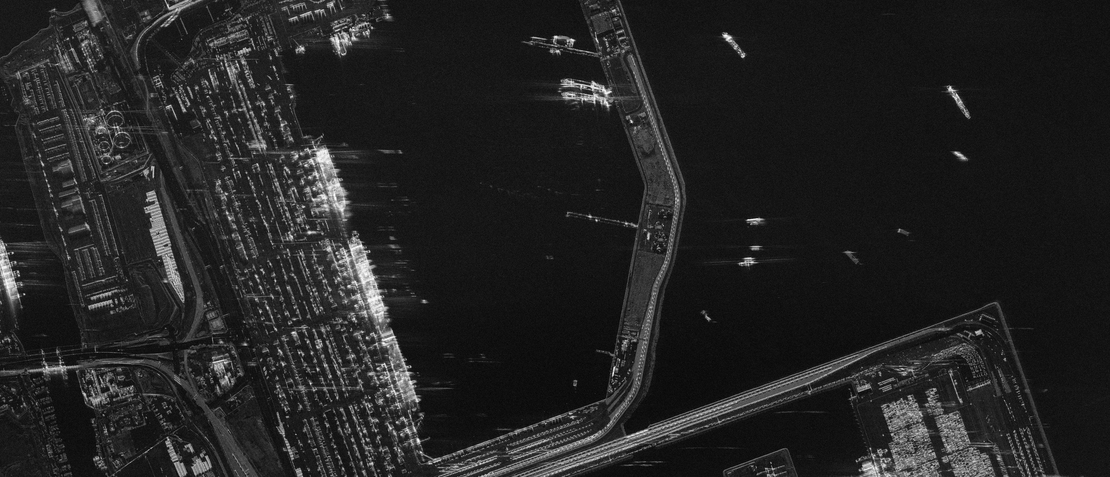
- ICEYE25 cm33 satellitesICEYE
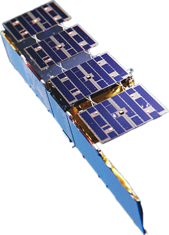
- Capella Acadia25 cm9 satellitesCapella Space
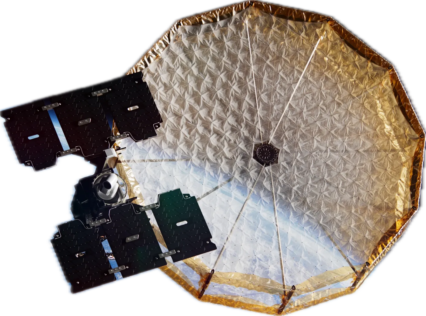
- Umbra25 cm5 satellitesUmbra
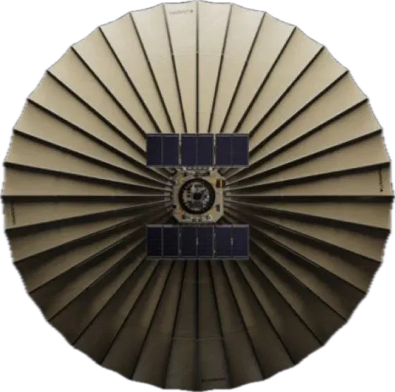
- StriX25 cm8 satellitesSynspective
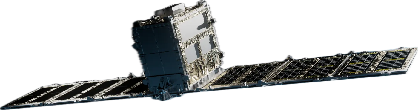
- COSMO-SkyMed CSG30 cm3 satellitese-GEOS
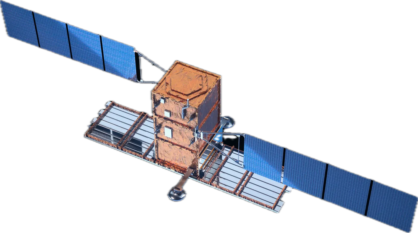
- COSMO-SkyMed CSK30 cm2 satellitese-GEOS
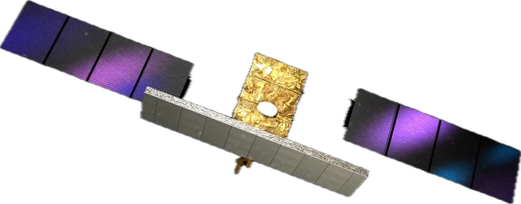
- QPS-SAR46 cm11 satellitesiQPS
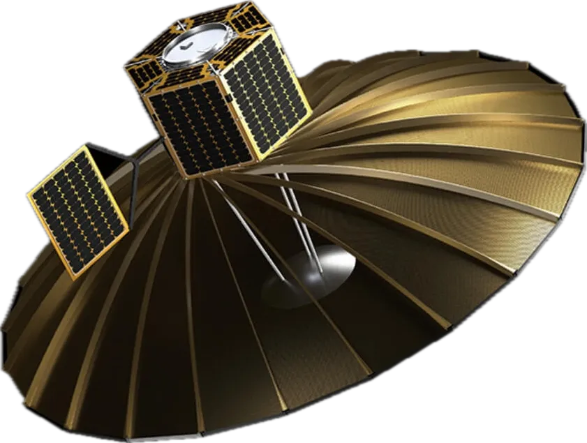
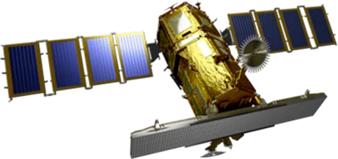
- KOMPSAT-585 cmSI Imaging Services
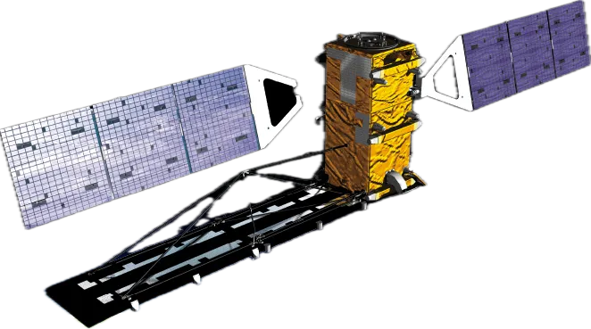
- RADARSAT-21 mMDA Space
Specifications
- Best resolution
- 25 cm
- Imaging modes
- Spotlight and Stripmap
- Bands
- X-band and C-band
- Revisit
- 105 × a day
- Interferometry
- 1 mm/yr
- Collection window
- Day and night
Dwell
How long the radar stays pointed at one spot while the satellite flies past it. Radar builds its picture from the angles it sees the spot across: a short look gives a blur, a longer one a sharp image.
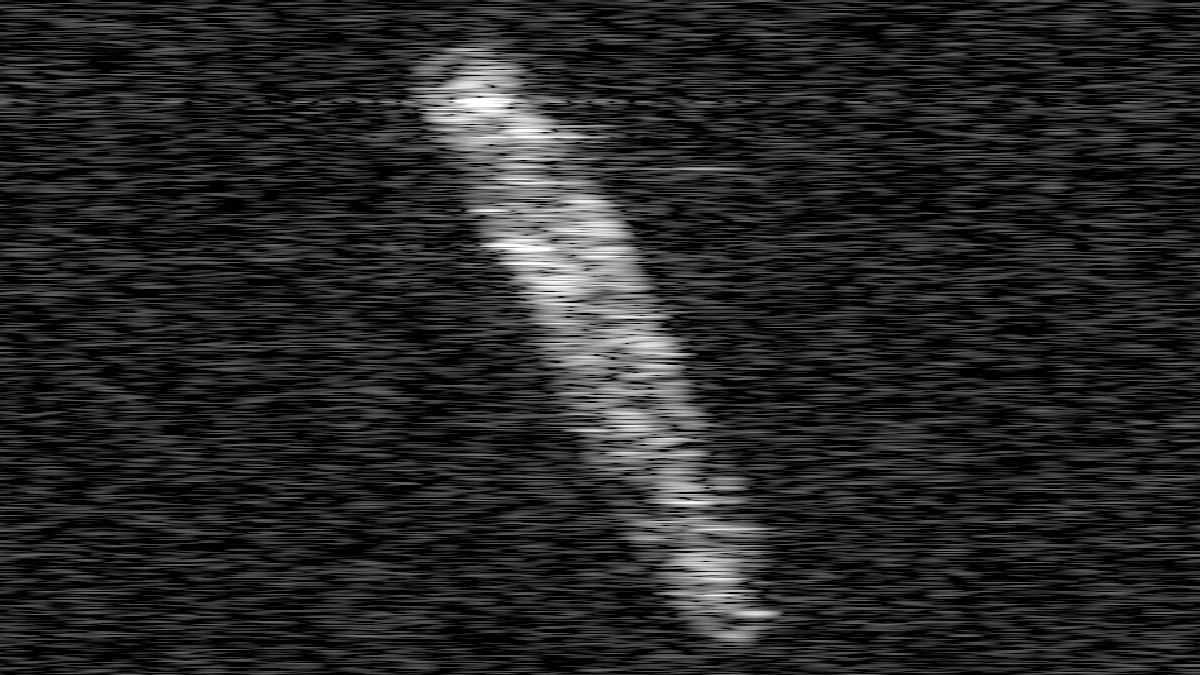
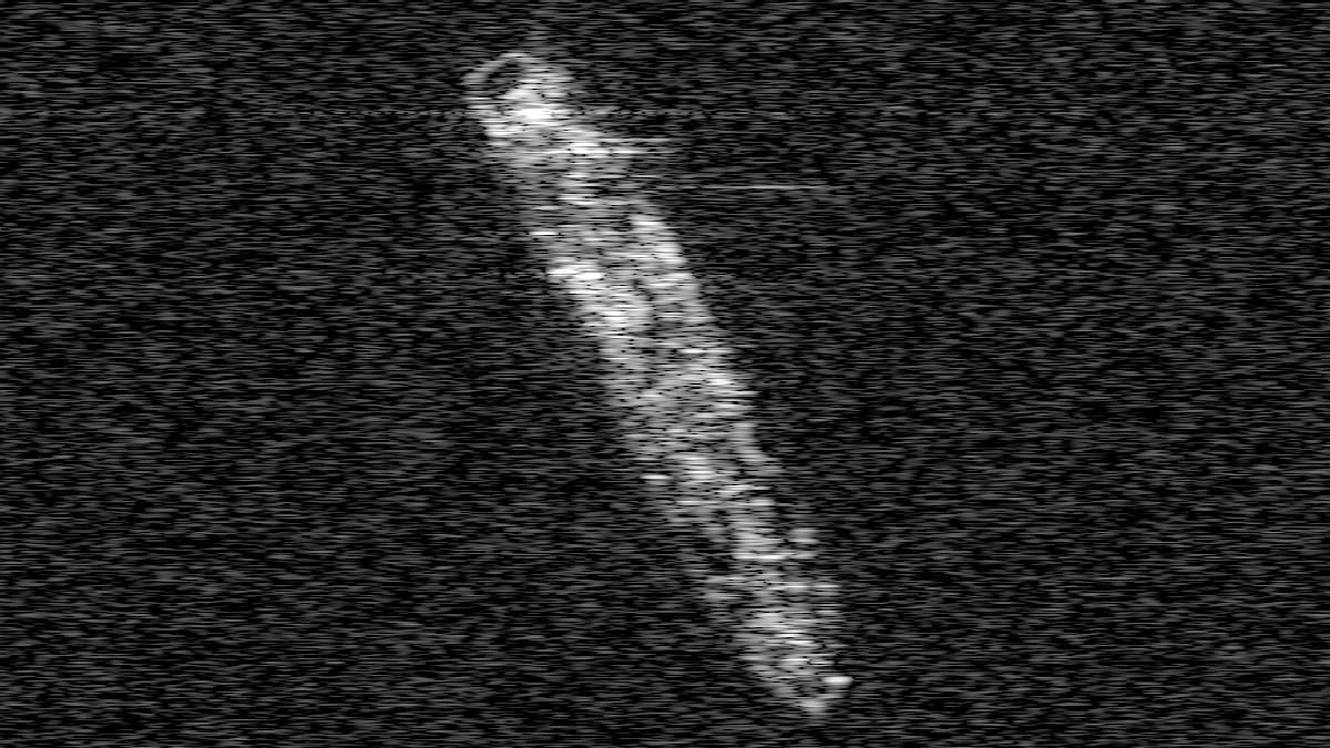
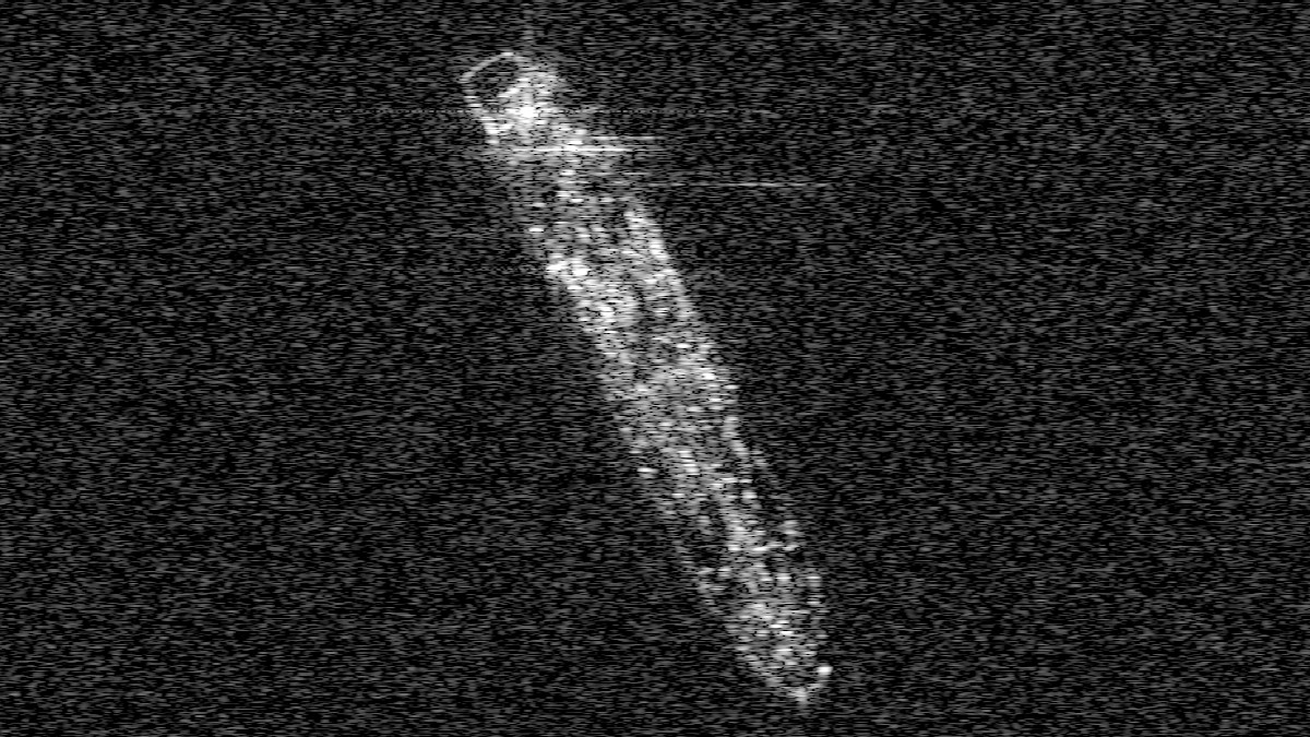
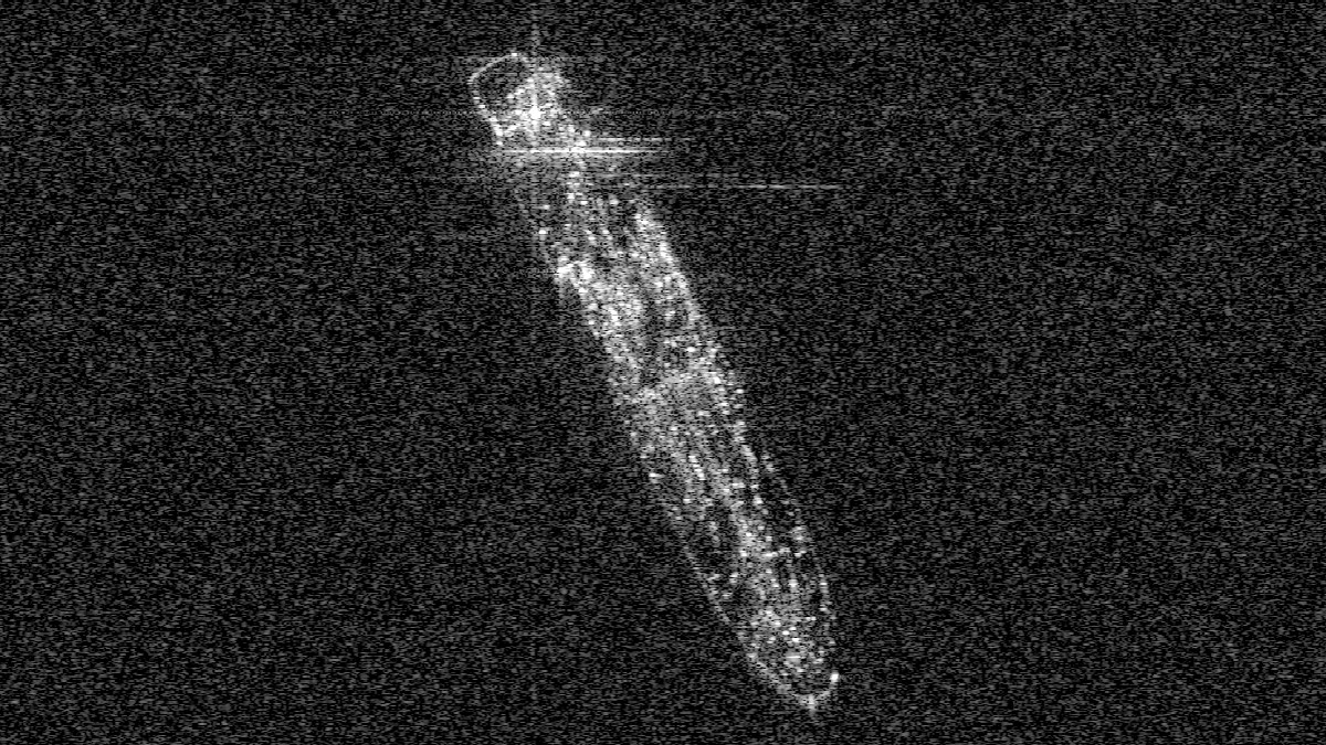
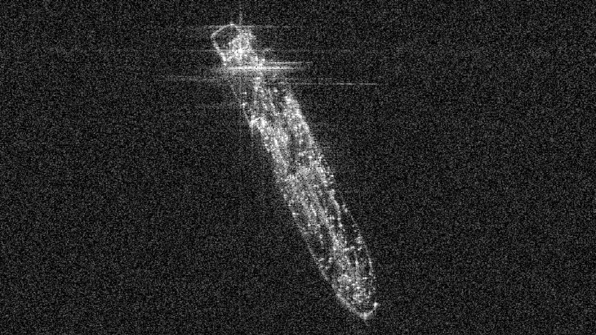
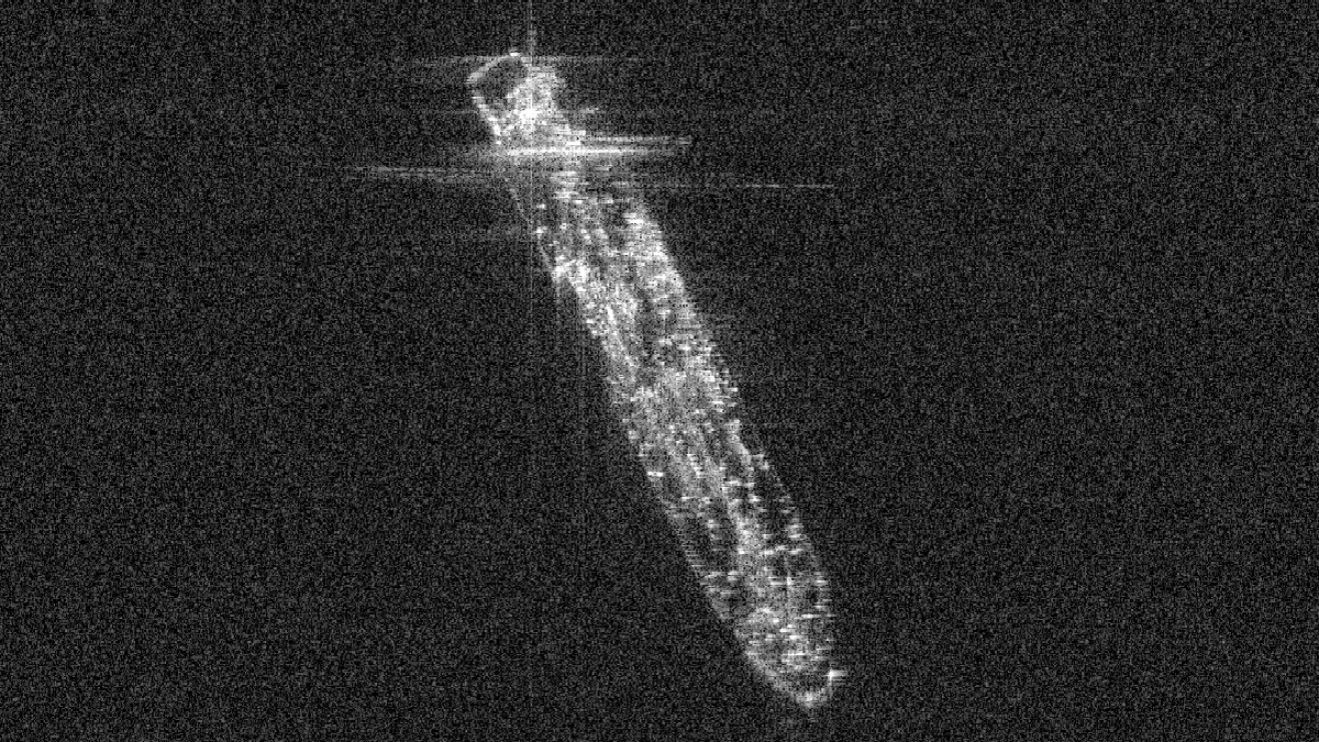
Side view, angles exaggerated · X-band 3.1 cm · 645 km slant range
- Dwell
- View angle
- Resolution
Gallery
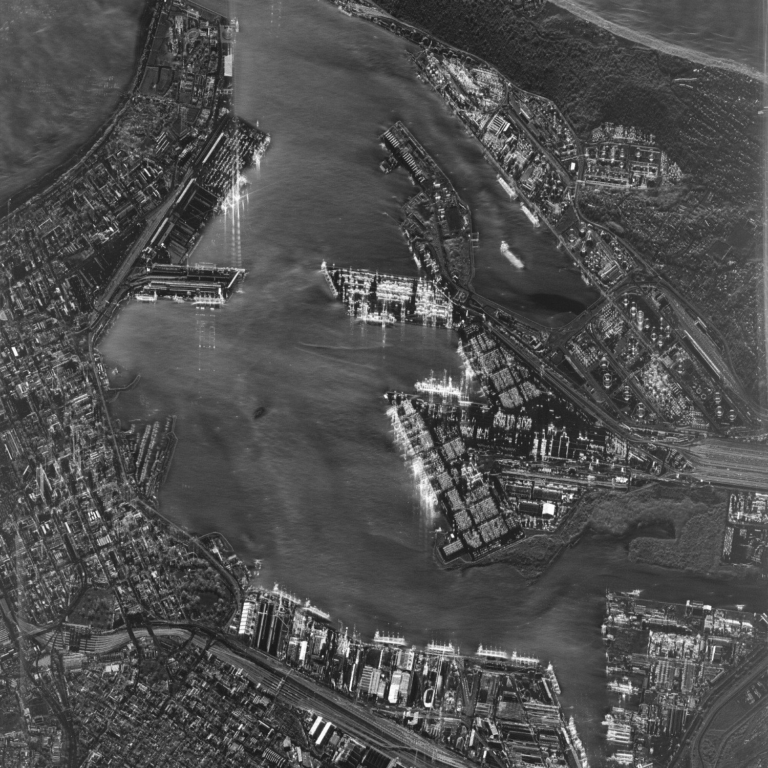
Select a frame to open it at full resolution.
Detects
- Flood extent while the storm is still overhead
- Vessels at sea, including those not transmitting AIS
- Ground displacement to the millimetre, via interferometry
- Structures, soil moisture, surface roughness